North Central Coast
North central Vietnam: Phong Nha's caves, Hue's citadel and tombs, the old demilitarised zone and a narrow coast with a harsh climate.
North central Vietnam is where the country is at its narrowest, a strip of coastal plain, sand dunes and lagoons pressed against the Truong Son mountains. It has a reputation for hard weather and hard-working people, and it holds two very different places: the forested karst and caves of Phong Nha and the royal city of Hue.
Caves and forest
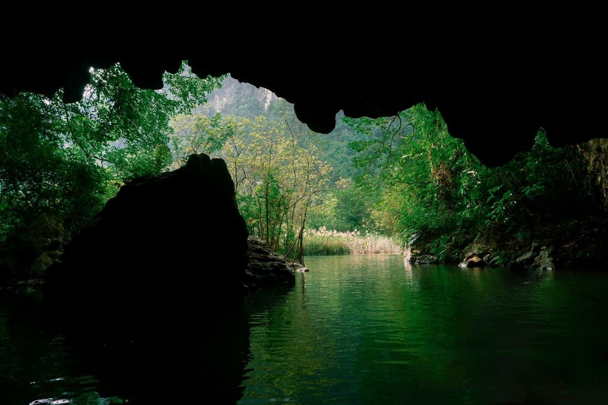
In the west of north central Vietnam, Phong Nha-Ke Bang National Park covers a large area of limestone mountains near the Lao border. Its rivers run underground through caves, some known for centuries and some, like Son Doong, explored only recently. A small town by the river is the base for boat trips into Phong Nha Cave and for longer treks into the forest with licensed operators.
The royal city
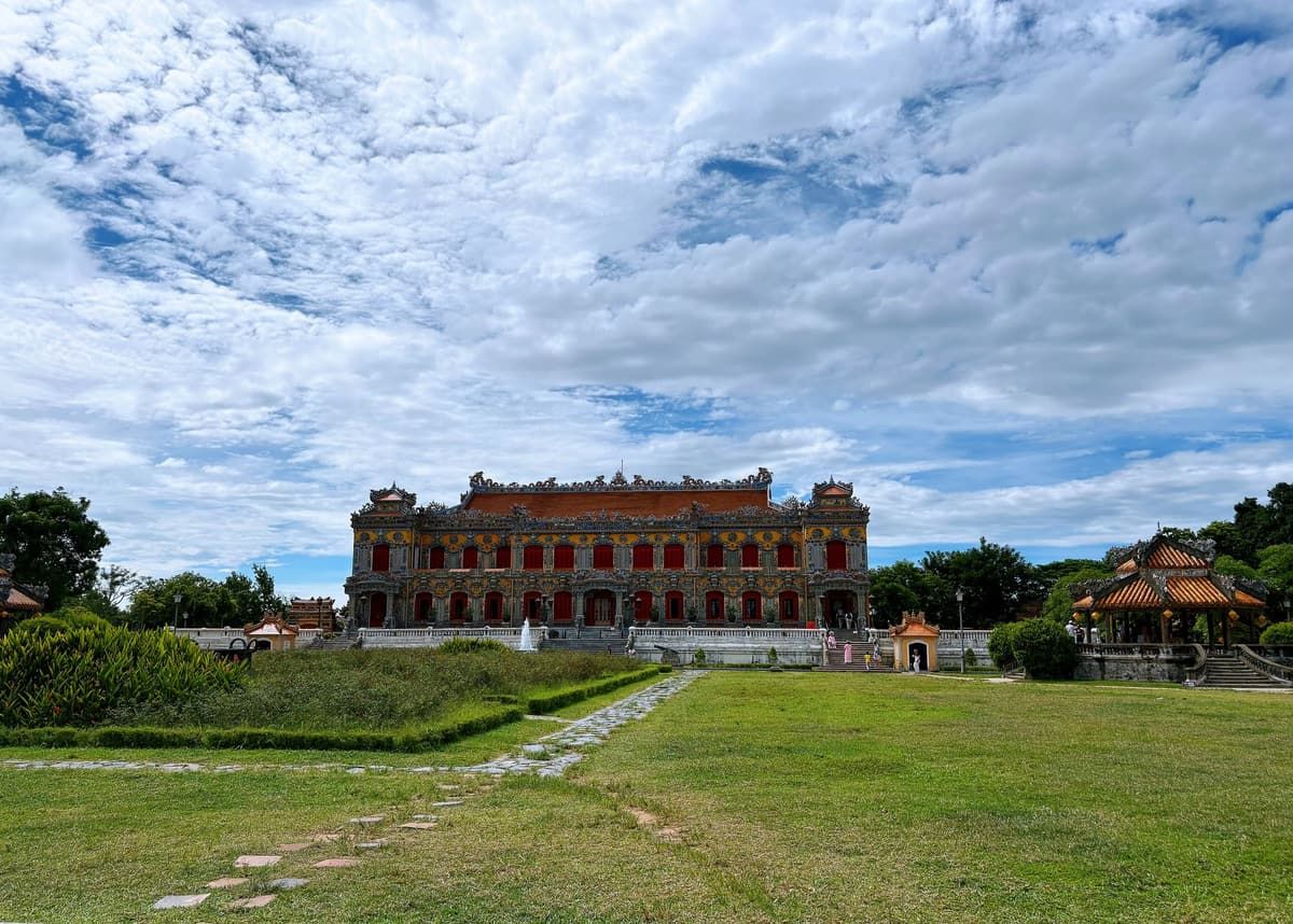
Hue was the capital of the Nguyen dynasty from 1802 to 1945. Its walled citadel on the Perfume River, the imperial tombs in the hills, its court music and its cuisine of small, careful dishes set it apart from the rest of north central Vietnam. The city also has many pagodas, and a long tradition of Buddhist vegetarian cooking.
The line that divided the country
Between Phong Nha and Hue lies Quang Tri, where the Ben Hai River marked the border between North and South after 1954. The former demilitarised zone, the tunnel village of Vinh Moc and the war cemeteries are visited on day trips from Hue.
Weather in north central Vietnam
This is the region of extremes. In summer a hot, dry wind blows over the mountains from Laos. In autumn, roughly September to December, typhoons and heavy rain bring floods, and Hue is among the wettest cities in the country. Spring is the gentlest season, and the caves are usually visited from spring through summer, when the rivers are low enough. Check conditions before planning cave tours late in the year.
Destinations in the North Central Coast
Stories
North Central Coast: stories are on the way.