Ha Giang
Northeast - Northern Vietnam
- Province
- Tuyen Quang
- Nearest airport
- Noi Bai (HAN)
- Best time to visit
- September – November
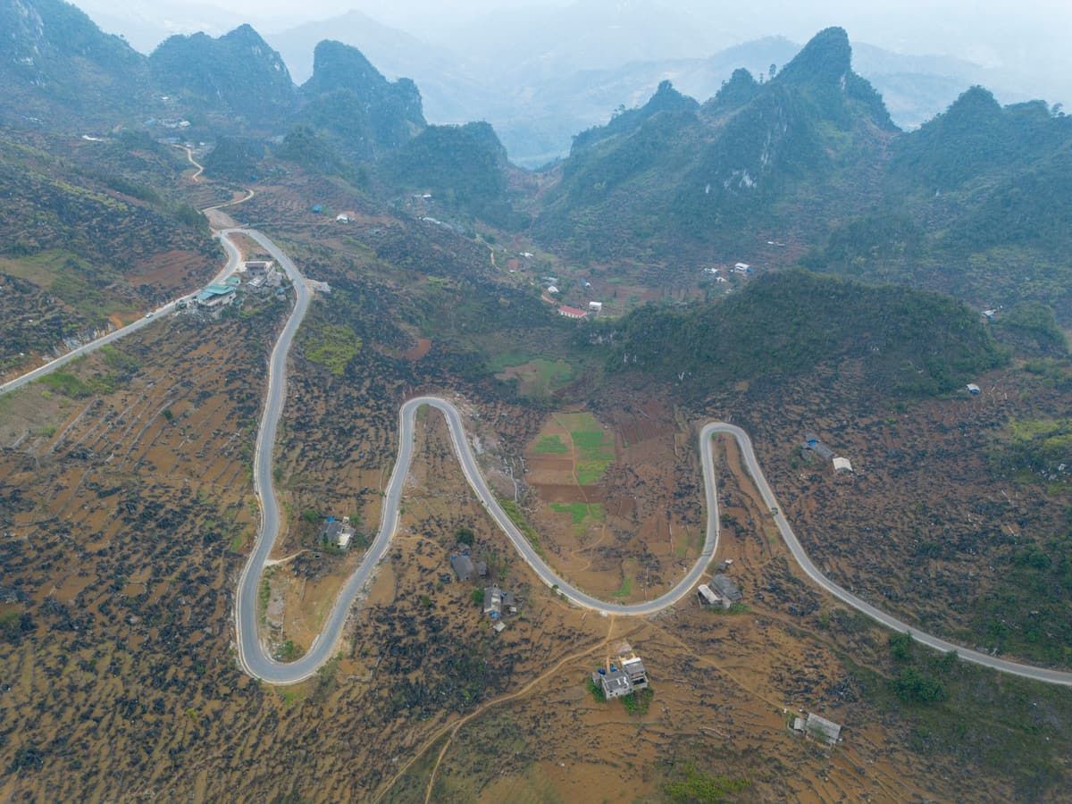
Ha Giang (Hà Giang) is where Vietnam runs out of road. Its northern edge holds the country’s northernmost point, and much of it is the Dong Van Karst Plateau: grey limestone peaks and ridges where soil collects only in pockets between the rocks, and where maize is planted one handful at a time in the cracks. UNESCO named the plateau a Global Geopark in 2010. For most visitors the province is a journey rather than a place, a loop of mountain roads that takes three or four days.
Peoples of the stone plateau
More than a dozen ethnic groups live here. Hmong families make up the largest share on the plateau, and their houses stand behind walls of stacked stone, under roofs of yin-yang tiles. The Lo Lo of Lung Cam and Lo Lo Chai wear some of the most elaborate clothes in the country, sewn from hundreds of small coloured patches. Dao, Tay, Pu Peo and Giay villages lie lower down, where rice terraces replace the rocks.
In Sa Phin, the Vuong Family Mansion was built in the early 20th century by Vuong Chinh Duc, a Hmong leader who controlled the opium trade of the plateau. Its carved wooden halls and stone courtyards mix Hmong, Chinese and French styles.
The road north
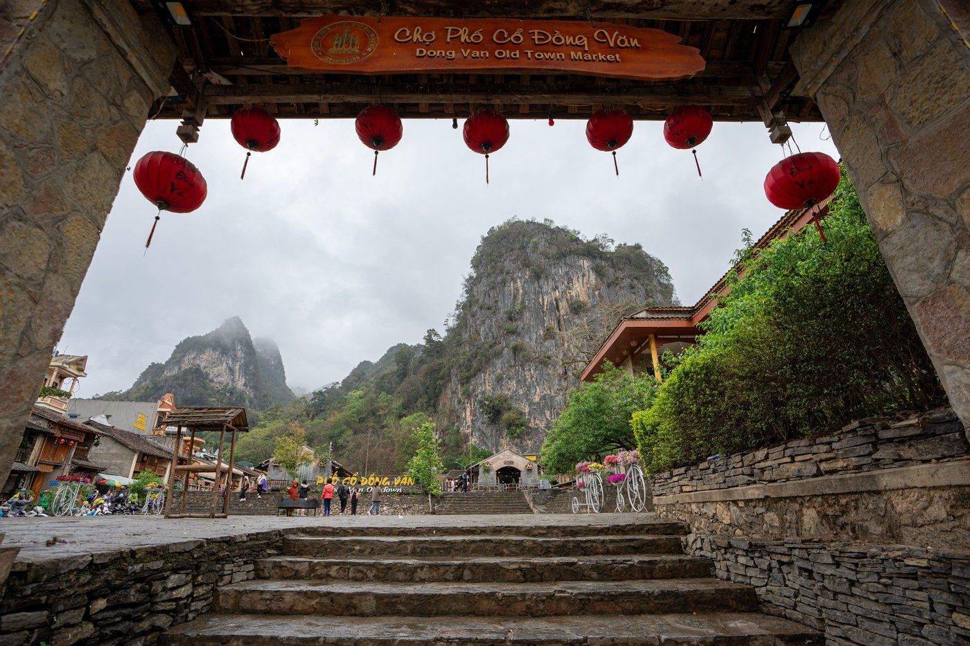
The loop usually starts in Ha Giang town and climbs through Quan Ba, where two rounded hills are known as the Fairy Bosom, towards Yen Minh and Dong Van. In Dong Van Old Quarter, a row of two-storey houses with clay walls and lantern-hung eaves surrounds the old market.
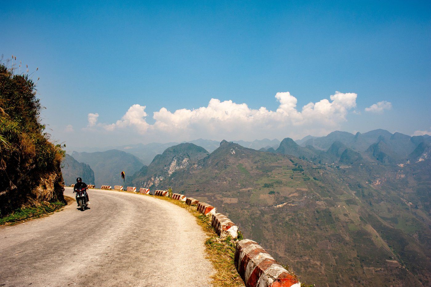
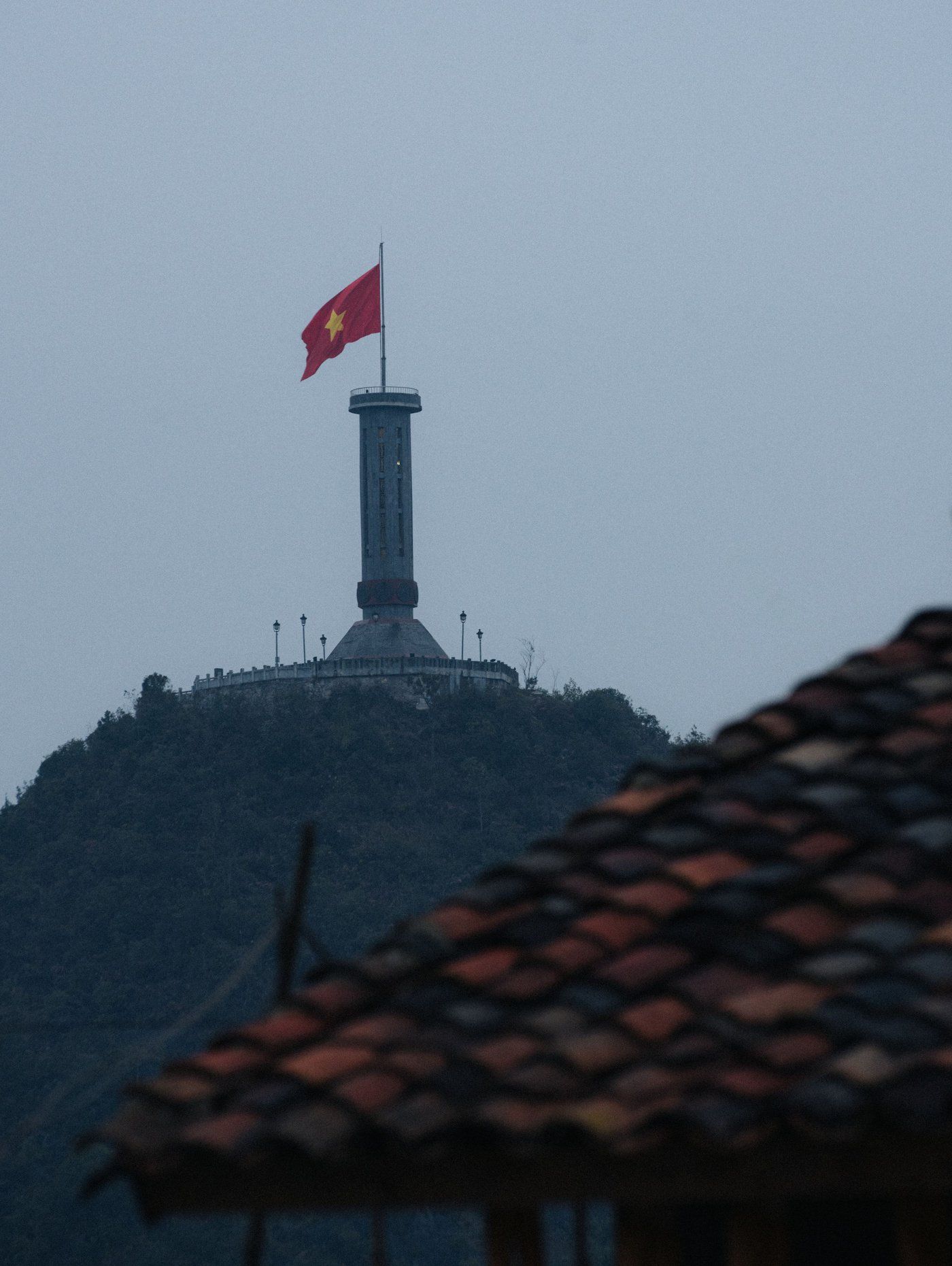
North of the town, a short road ends at Lung Cu Flag Tower, close to the northern tip of Vietnam, where a large red flag flies over the border hills. To the east, the Ma Pi Leng Pass runs along a cliff above the jade-green Nho Que River, deep in its canyon. It is the best-known stretch of road in the north.
Many travellers ride the loop on the back of a motorbike with a local driver, which is safer than riding these roads alone. Others go by car.
Markets and seasons
The highland markets are the heart of plateau life. On market day people walk in from villages hours away to trade pigs, buffalo, cloth and corn wine, and to eat thang co, a stew of horse meat and offal cooked in great pans. Dong Van, Meo Vac and Pho Bang hold the best known, mostly on Sundays. Once a year, on the 27th day of the third lunar month, Khau Vai holds its love market, where, the story goes, former lovers who could not marry meet again.
From late October into November, pink and white buckwheat flowers cover the fields between the rocks.
How long to stay
Three or four days covers the loop without rushing. September to November is dry and clear, with the rice harvest in the lower valleys and buckwheat on the plateau. Winters are cold and foggy. Ha Giang town is about six hours by road from Hanoi, and buses also run overnight.
Top attractions
Food
Ha Giang Food GuideFestivals here
Stories
Stories about Ha Giang are on the way.
Best time to visit
The usual best months are September – November.
Best months for every destinationGetting there
The nearest airport with scheduled flights is Noi Bai (HAN).
All destinations by airport